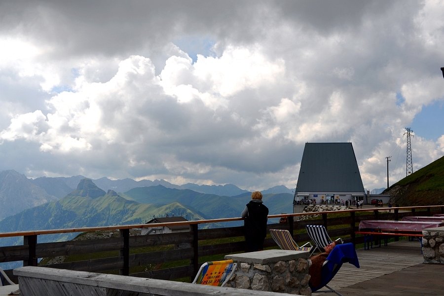
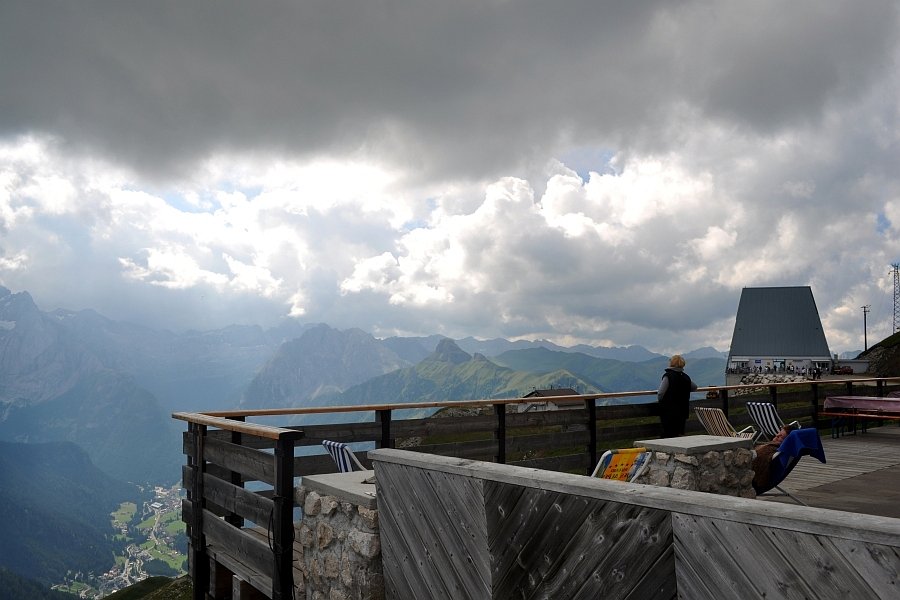
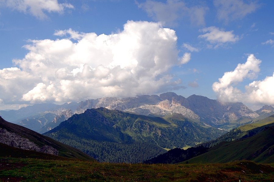
Sport and adventure
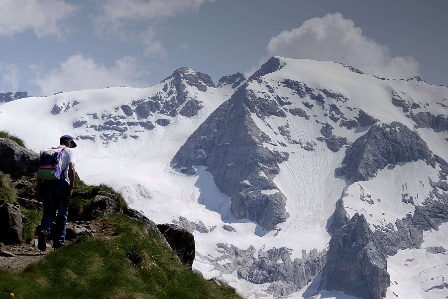
Walking
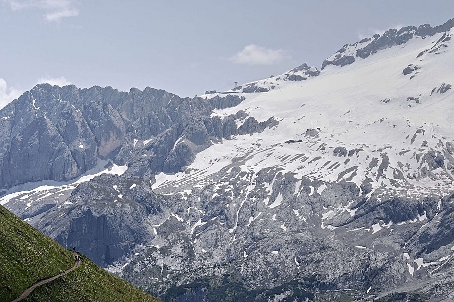
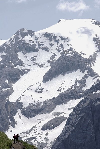
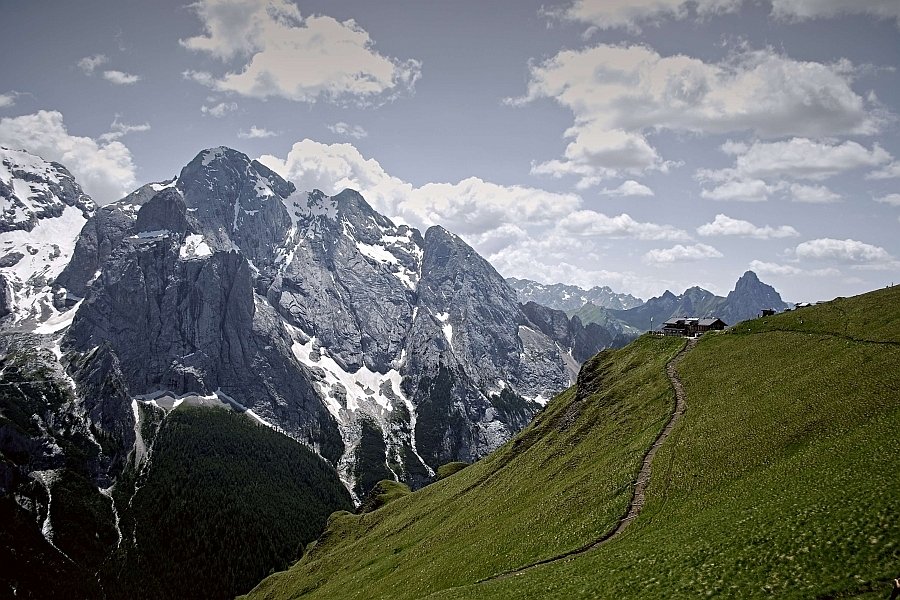
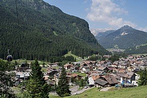
There is a vast selection of walks and routes to be tackled on foot in Val di Fassa. In fact, these magnificent mountains are criss-crossed by over 2240 km of routes from the very simple to more complex to high-altitude trekking for the very fittest. These routes can be reached on foot or using the lifts, and are illustrated with detailed maps that provide all the information necessary to tackle them correctly.
Val di Mortic
Depart from Canazei near the San Floriano church and continue along a stretch of the Lupo Bianco – Canazei ski piste, to continue towards Mortic. From here walkers reach Pian dei Frataces, where there is an optional rest at the Hotel Lupo Bianco. Continue to reach the upper area of Val di Mortic and then Pian de Schiavaneis.
Canazei - Penia - Pian Trevisan
Medium-difficulty route that can also be tackled on mountain bike, from Val di Fassa through the hamlets of Penia and Alba until the Albergo Maria which is a departure point for the Fedaia Lake and the Marmolada.
Val San Nicolò
This route is also suitable for mountain bikes, crossing Canazei, Campestrin and Mazzin. Before arriving in Pera, turn left towards Meida and continue along the paved road towards Val San Nicolò. From here begins a long climb, partially on asphalt and some on track until the Rifugio San Nicolò where the route continues on to Rifugio Contrin.
Contrin - San Nicolò
Path 602 begins from the Hotel Cacciatora in Alba di Canazei, which leads to Baita Locia de Contrin. The view from here is breath-taking as it is surrounded by the Colac, the Marmolada and the Sella Group. From the Rifugio Contrin, descend to path 608 to then ascend once more to the Rifugio Passo San Nicolò.
Rifugio Fuchiade - Rifugio Contrin
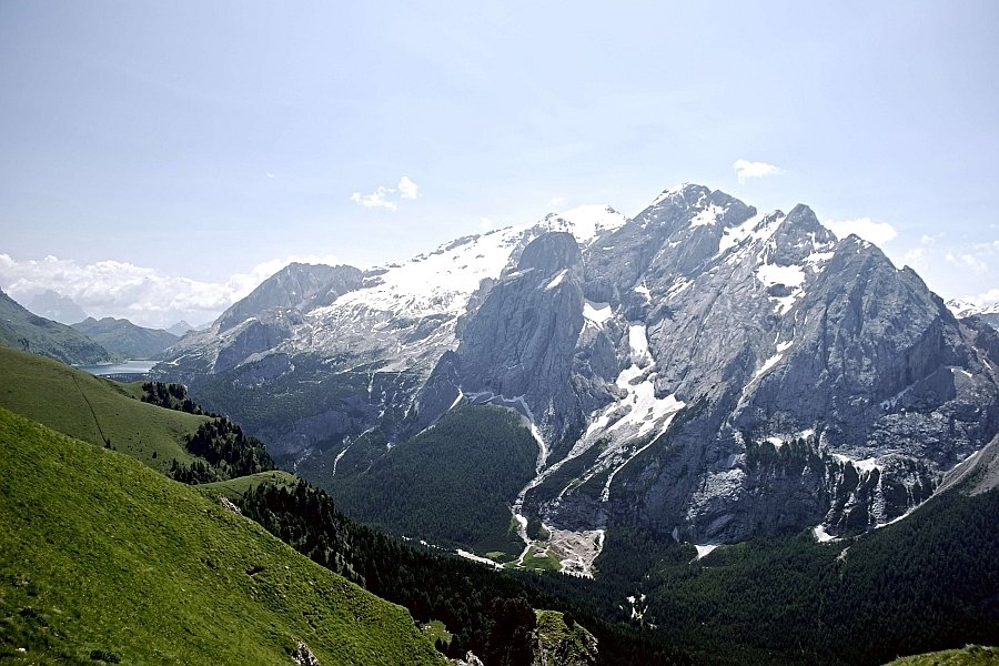
This trekking route departs from the Rifugio Fuchiade in San Pellegrino, where path 607 leads to Passo delle Cirelle. From here is a marvellous view over Pale di San Martino, the Cima Uomo chain, Cima Ombrettola, Sasso Vernale and the Marmolada.
Path 607 then descends, passing beneath the Sasso Vernale and arriving at the Rifugio Contrin.
Il Vièl dal pan
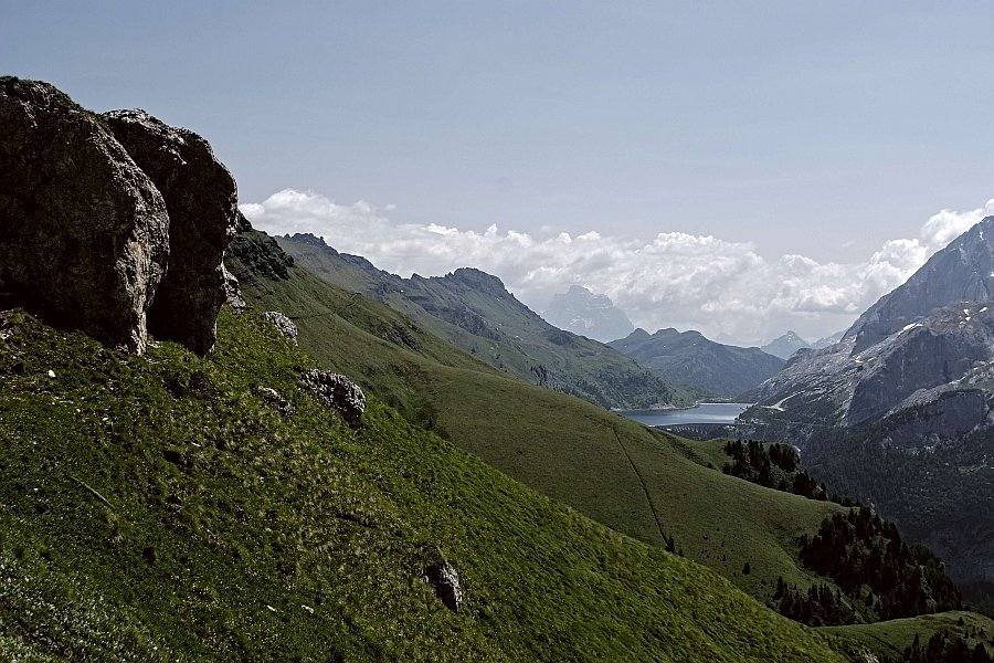
Path 698 starts from the Fedaia Pass and then turns into the 601 which leads to the Pordoi Pass (2239 m). The steepness decreases along the route until there are no more hills in Col de Cuch (2360 m). Further ascent leads to Rifugio Fredarola and Rifugio Vièl dal Pan. The road continues and joins the path leading from the Fedaia Pass, which continues until the Rifugio Gorza Porta Vescovo.
The name of this path that connects the Fedaia Pass to the Pordoi Pass derives from the name (attested in a document of 1779) of "Trozo delli Pagani", which in Ladin phonetics became Troi Paian, until it was modified in Vièl dal Pan. It therefore means "Paths of the pagas", that is, the road that connected the ancient rural villages to each other, as well as to the major roads.
Canazei - Campitello - Val Duron
Departure from the Canazei swimming pool, following the route of the Marcialonga to reach Campitello and from there Val Duron.
Rifugio Micheluzzi (1850 m) marks the end of a more difficult stretch.
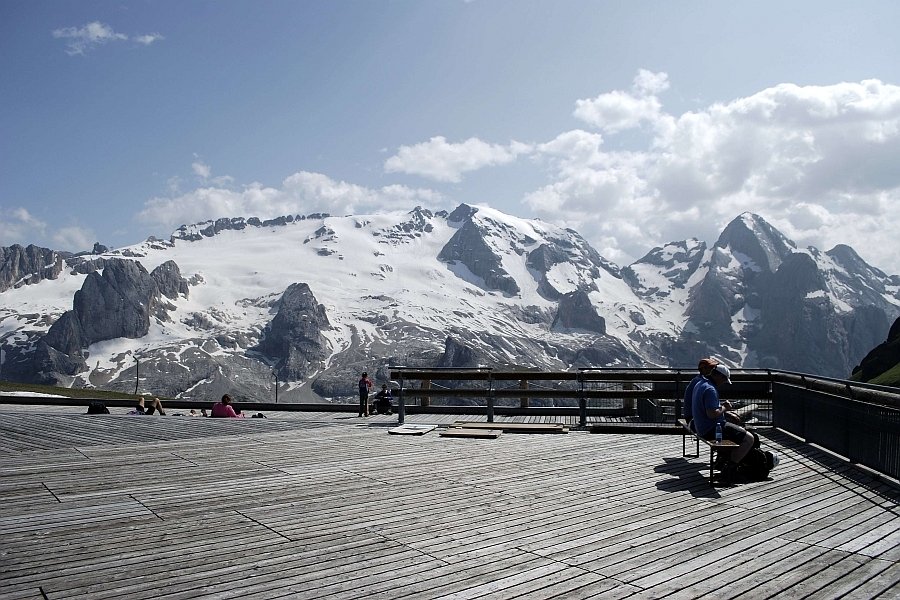
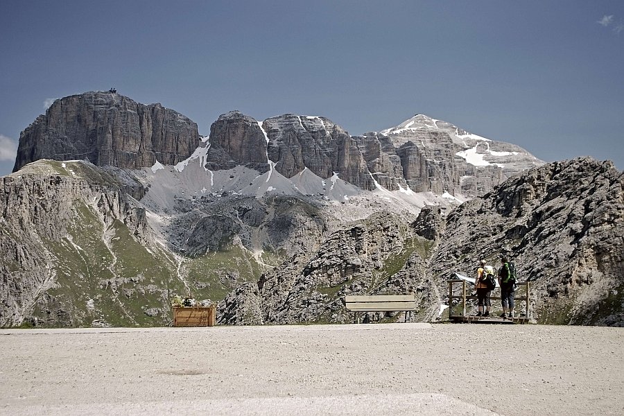
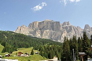
Sass Pordoi - Piz Boè
From the Sass Pordoi cable car (12 km from Canazei), head to Rifugio Maria (2950 m) where path 627 leads to the Pordoi Crossing and the refuge of the same name (2849 m). Continue along this same path until it meets 638, from here climb Piz Boè for a short while until the peak and Rifugio Capanna Fassa (3152 m). Descend on the opposite slope to reach Rifugio Boè (2871 m).
Sass Pordoi - Piz Boè - Campolongo Pass
From the Pordoi Pass cable car, continue towards the Pordoi Crossing and Piz Boè. From here the route descends and crosses the Lago Gelato Pass, Lago Boè and Crep de Mont.
Sass Pordoi – Gardena Pass
From the Pordoi Pass cable car, proceed towards the Pordoi Crossing and Rifugio Boè. Emerge from here into Val de Tita and arrive at Rifugio Pisciadù. Cross Val Setus to reach the Gardena Pass.
Sass Pordoi - Rifugio Boè - Val Lasties - Canazei
From the Pordoi cable car, proceed towards the Pordoi Crossing and Rifugio Boè. From here, continue toward the forked Antersass Crossing and take path 647 which descends towards Val Lasties until the Pian de Schiavanies. From her continue on to Canazei.
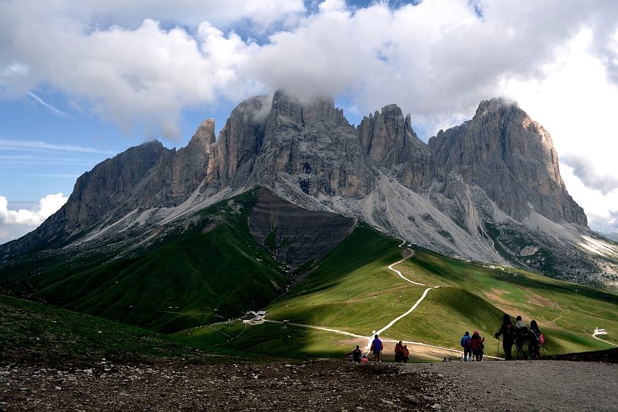
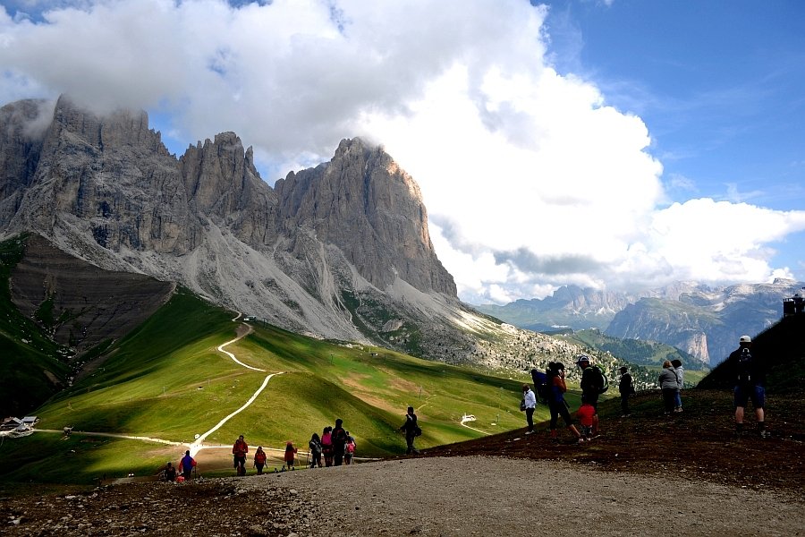
Col Rodella
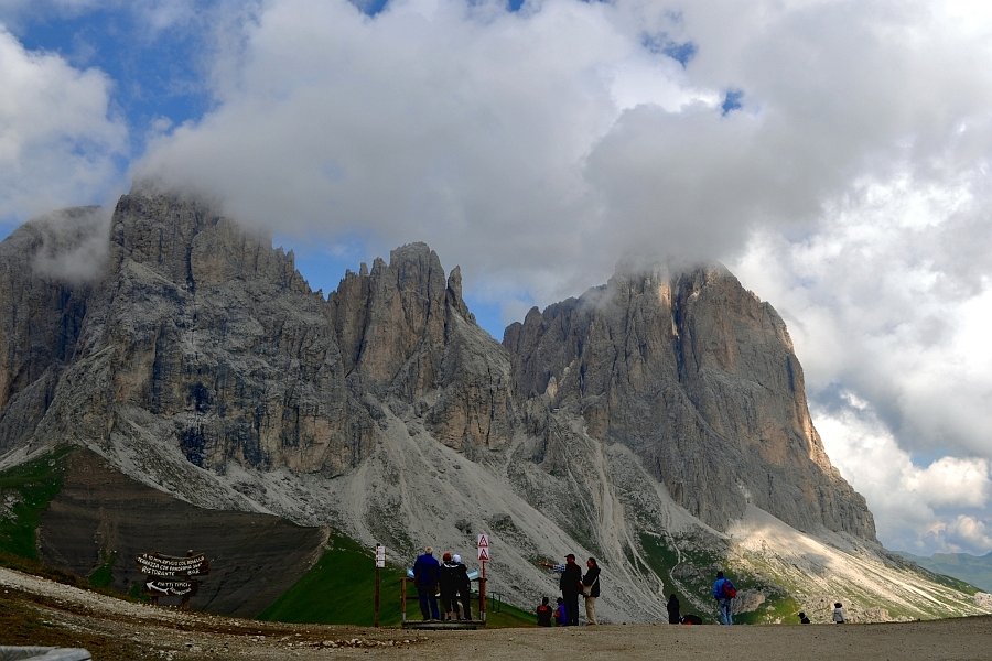
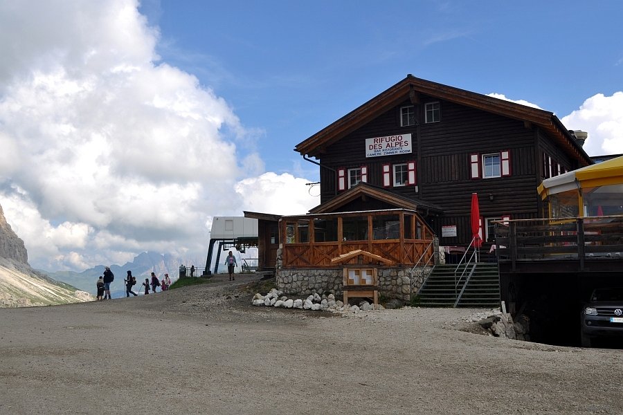
Departing from Pian Frataces (1715 m) near Rifugio Lupo Bianco, cross Ruf Antermont and take path 655. Cross Val Salei to reach the Rodella basin. Follow directions for Rifugio Valentini (2218 m) and arrive at path 557 which leads to Rifugio Salei (2225 m). Once from here the route continued to Sella Rodella from which the Rifugio Friedrich August could be reached (2298 m). Cross path 530 to climb to Rifugio Des Alpes (2392 m) e and continue on to Rifugio Col Rodella (2.485 m).
Or instead, from The Sella Pass (2244 m), which can be reached from Canazei take path 4 until the Rodella Crossing, from there, path 529 leads to Rifugio Des Alpes (2387) which can alternatively be accessed by chair lift. From the refuge, it is possible to continue on to the peak of Col Rodella (2484 m).
‘Noscia jent’ path
From the Canazei - Pecol gondola station, take the path that leads to ‘Col de Tena’ and then Pradai. Cross the forest road to reach Pian de Dolèda from which it is possible to descend towards Alba or reach the uninhabited hamlets of Verra and Lorenz. This path, whose name means ‘our people’, recalls part of the history of the people of Val di Fassa: the steep slopes tell of hard work with a scythe and making hay at altitude, just like the difficulty of transporting wood downhill. Pian de Dolèda also recalls Ladin legends and the two small hamlets of Verra and Lorenz bear witness to ancient Ladin architecture.
Elbetina - Col Rodella 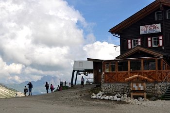
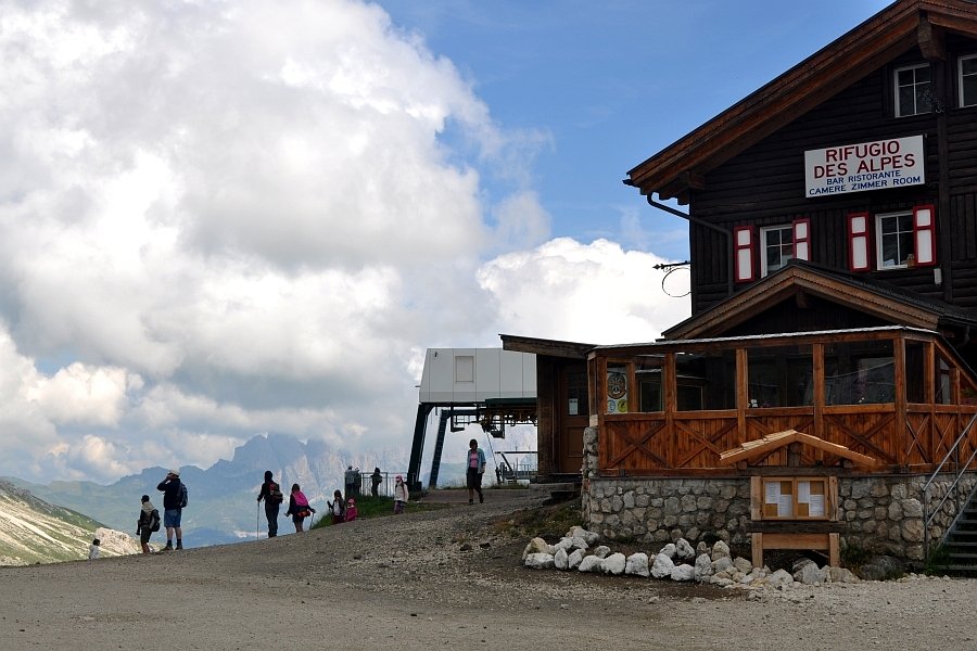
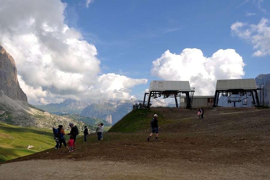
From Gries, a hamlet of Canazei, take the path that starts behind their local church and follow directions for Soracrepa/Col Rodella. This leads to the Pian Pozata junction, turn left and hug Mont da Gries. At the second junction continue on to Troi di ladins/Campitello as far as the Col Rodella cable car. At the Canazei junction, continue left to reach Rifugio Des Alpes: from here it’s just 15 minutes to the summit.
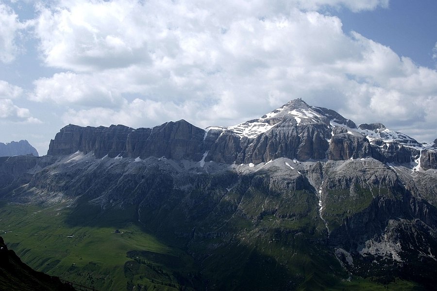
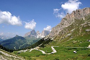
Sellaronda or the Four Pass Tour
This route, which winds around the Sella massif, can be taken on foot with the help of the lifts or by bus, bike or car.
Sasso Vernale
From Ciampac follow path 602 to Val Contrin and the refuge of the same name. From path 607 climb to Valle Cirelle and continue along path 612 which leads to the Ombrettola Pass and Vernale.
Val Crepa
The cable car from Alba di Canazei leads to the Ciampac basin (2180 m), from here begins the winding route through the Val Crepa.
From Ciampac, continue along path 645 which reaches Pian de Selle (2352 m) and then continues to Fontanazzo.
Ciampac - Sella Brunech - Rifugio passo San Nicolò - Rifugio Contrin - Alba di Canazei
This medium-difficulty route, departs from the chairlift and continues along the ‘Lino Pederiva’ path towards San Nicolò Pass. From the refuge of the same name, move towards Rifugio Contrin and descend towards Alba.
Canazei - Belvedere - Sass Pordoi
This very easy route departs from the Pecol - Col dei Rossi cable car and continues along path 601 towards the Pordoi Pass. From here, the route leads to the Sass Pordoi peak via the cable car.